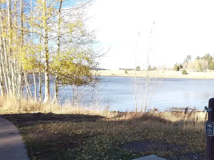
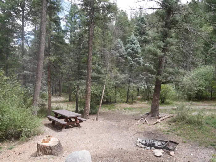
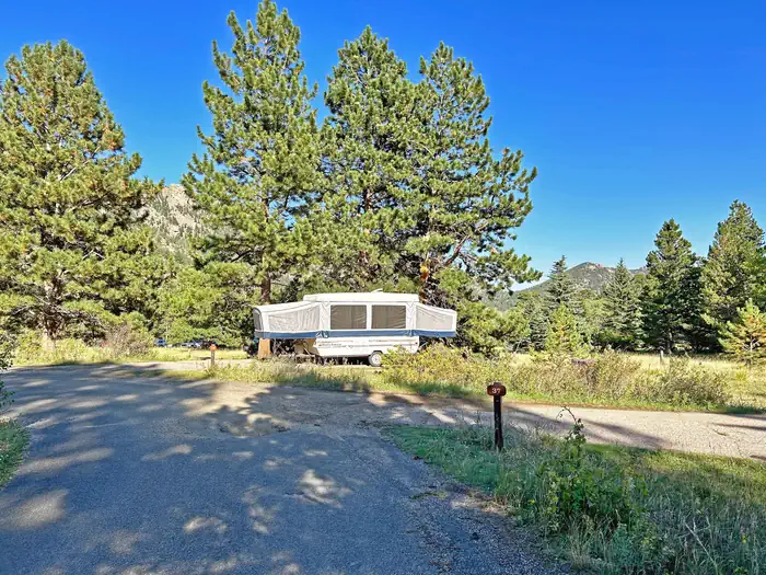
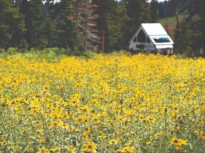
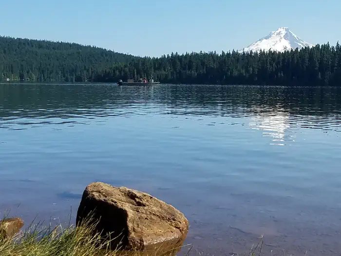
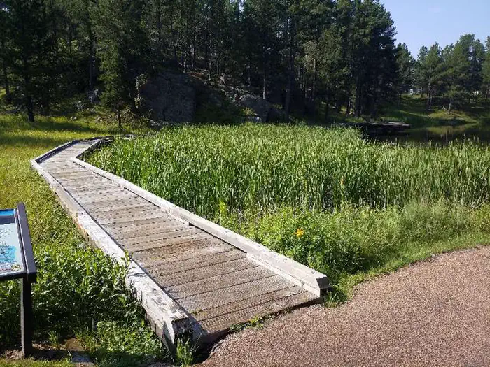
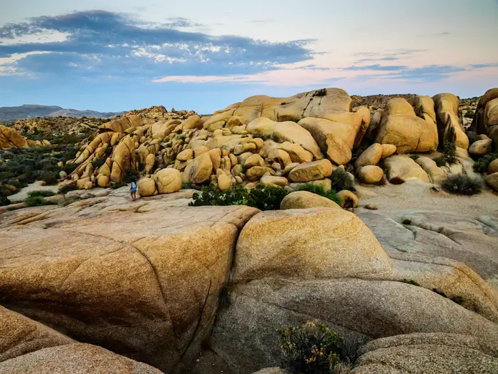
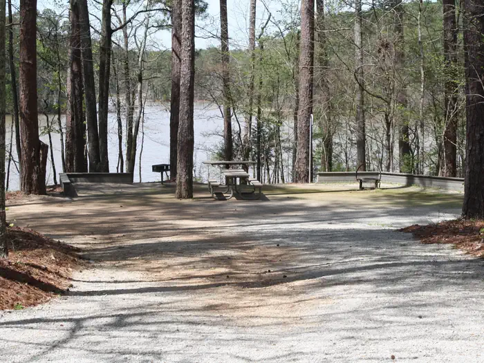
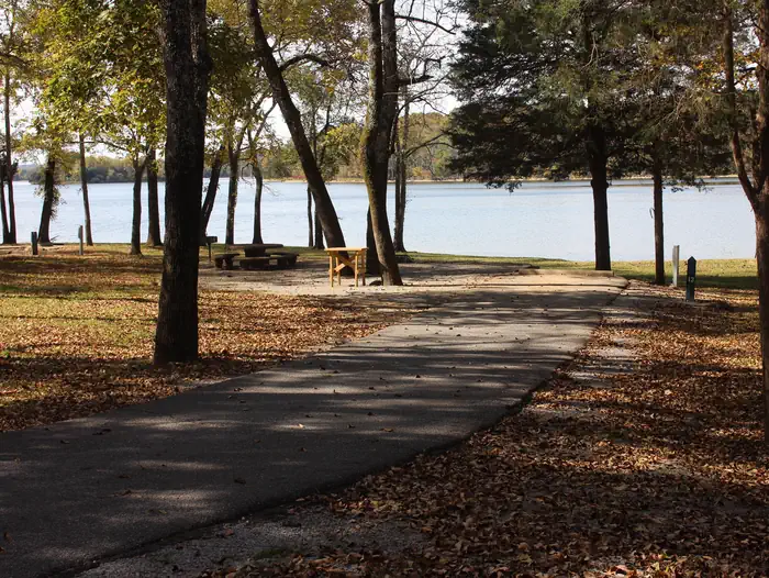
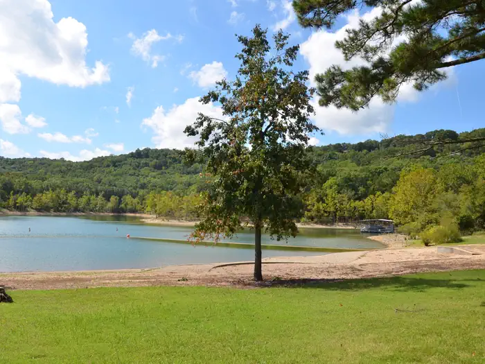
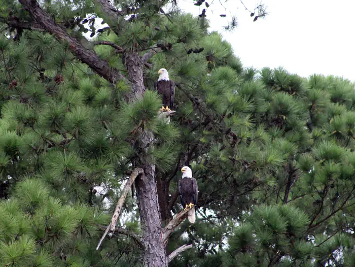
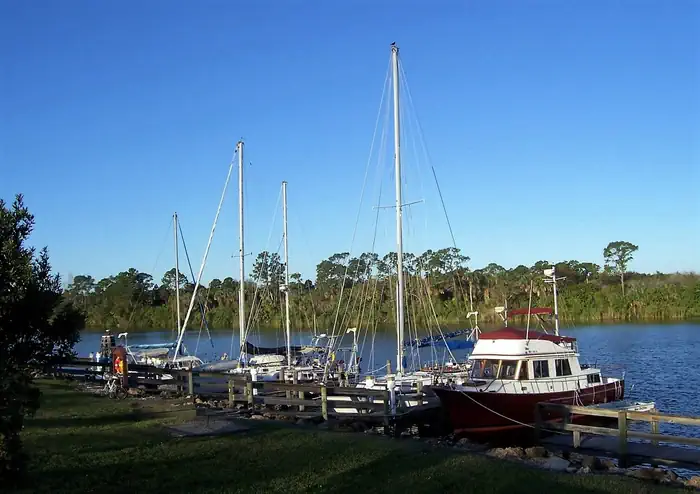
 Big Views
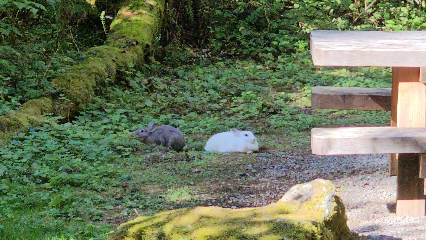
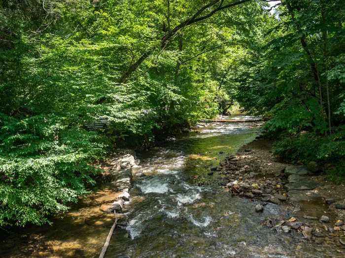
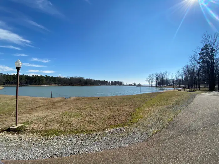
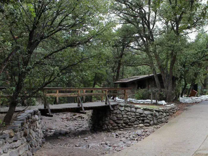
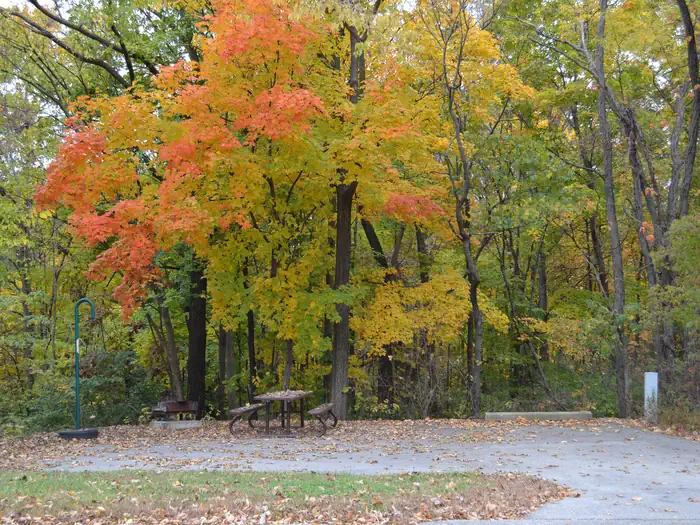
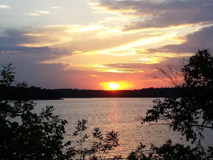
Grayling
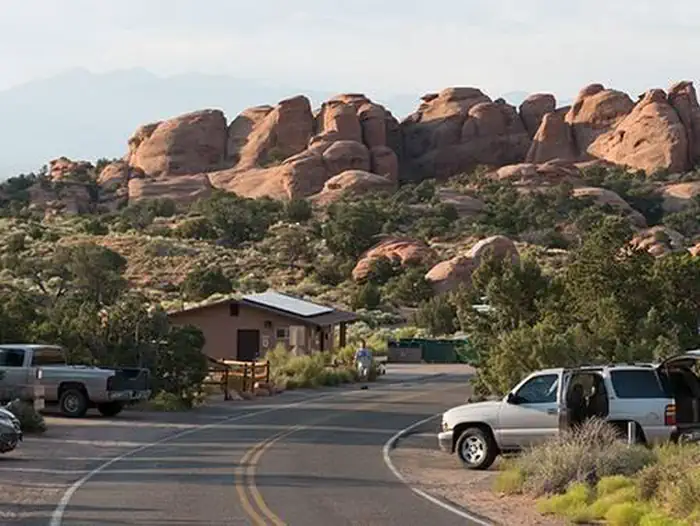
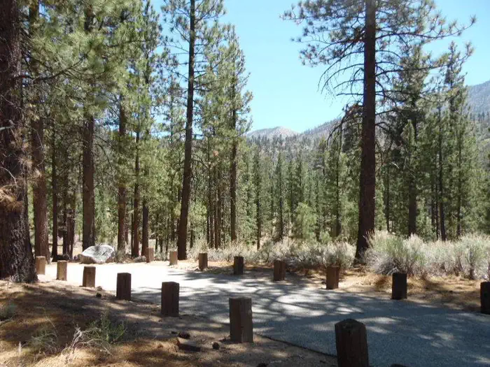
Pinetop, AZ
Apache-Sitgreaves National Forest
9,070 ftNo hookupsUp to 45 ft
Reserve on Recreation.gov →
CAMPSITES · PUBLIC LANDS
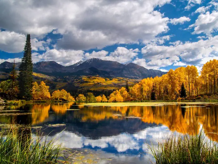
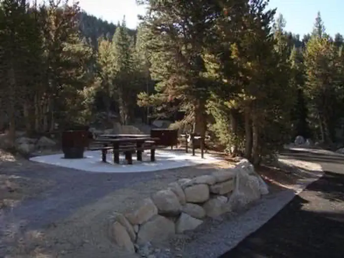
148 places to spend the night on US public land, in one map and one list — 36 off-grid sites where the view is the whole point, 36 full-hookup sites with power, water and a dump, and 76 free first-come boondocking spots out in the national forests and BLM country. Filter by what tonight calls for, across 28 states.
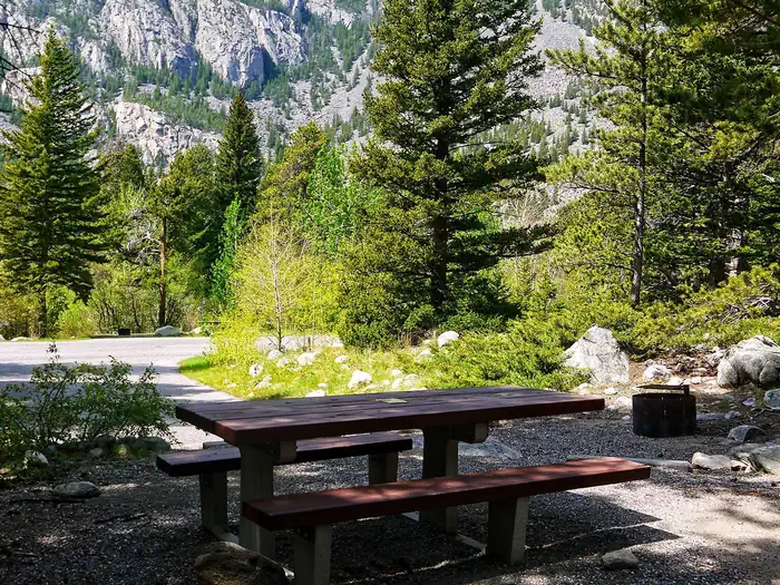
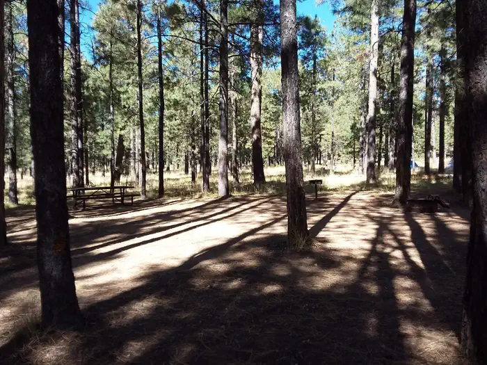
Off-grid, in the national parks & forests Recreation.gov
No hookups — just a real site you can tow into, deep in a national park or forest, where the view out the window is the whole reason you came. Bring water, run on battery and solar.
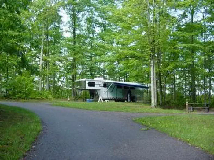
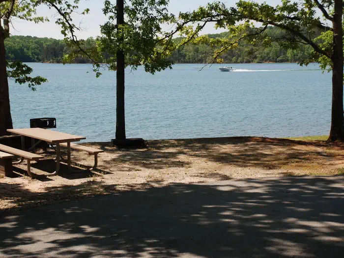
Powered, watered, dump on site Recreation.gov
Electric or full hookups with a dump station and room for the rig — the comfortable, serviced overnight stops for when you want to top up the batteries, fill the fresh tank, and empty the grays.
Free, first-come, off the grid Community data
Free dispersed camping on national forest and BLM land — no hookups, no reservations, no fee. Community-mapped from OpenStreetMap, so treat each as a lead to verify, not a booking: confirm the access road, current rules, and that the spot still exists before you commit the rig.
Nothing matches.
Every site below, plotted by type — Big Views, Full Hookups, Boondocking. Filter with the chips above; the map follows. Boondocking pins are community-mapped and unverified.
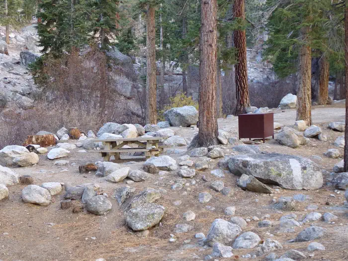
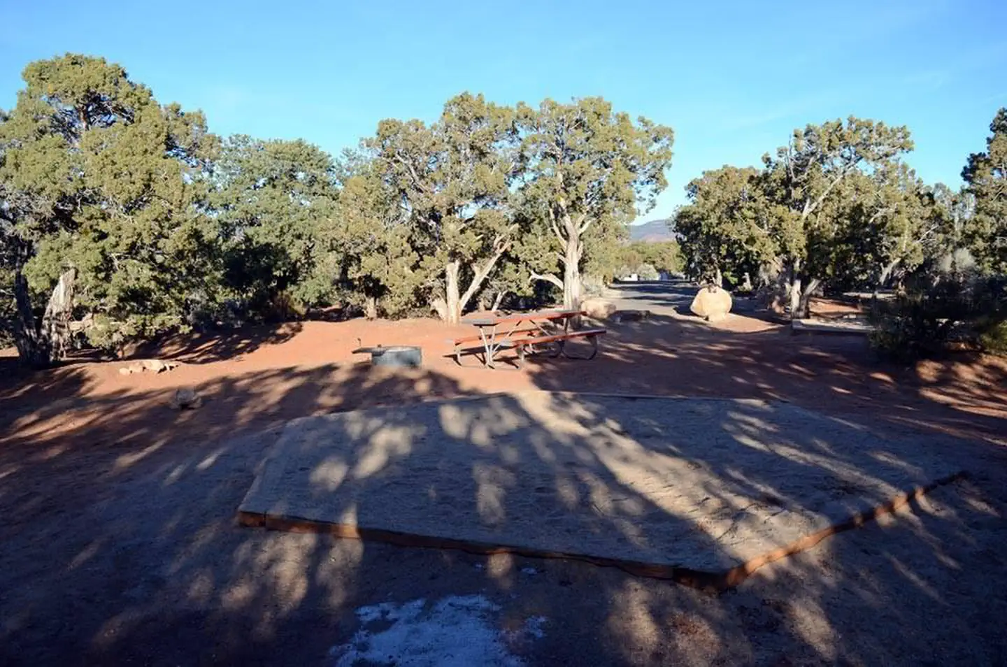
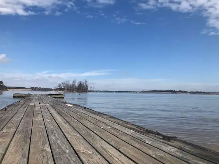
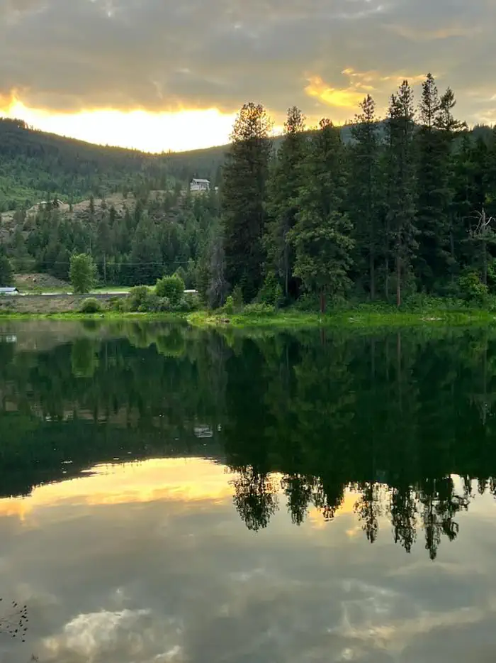
Big Views
Pinetop, AZ
Apache-Sitgreaves National Forest
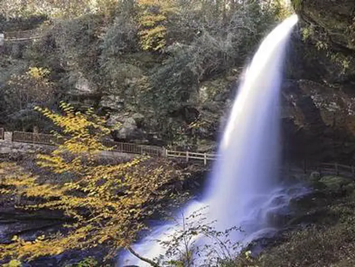
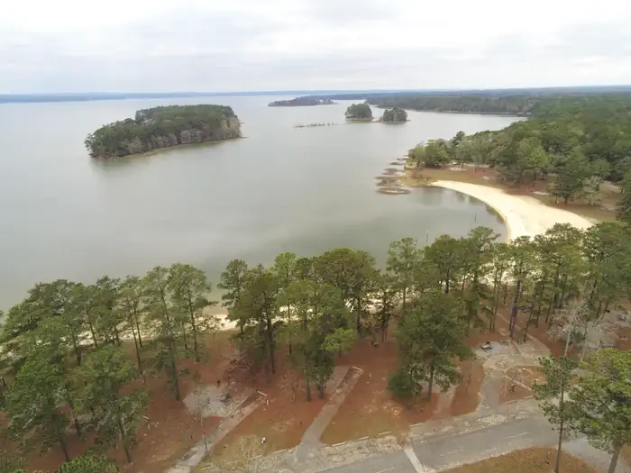
 Big Views
Lone Pine, CA
Inyo National Forest
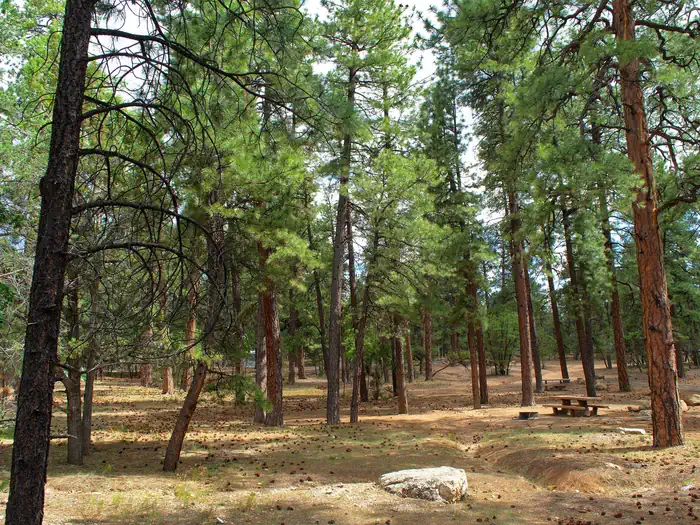
 Big Views
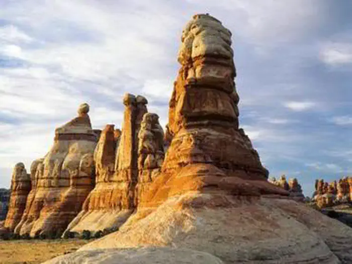
Moab, UT
Canyonlands National Park
 Big Views
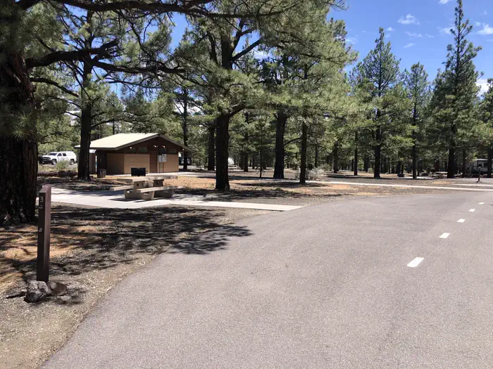
Flagstaff, AZ
Coconino National Forest Recreation
 Big Views
Deming, WA
Mt. Baker-Snoqualmie National Forest
 Big Views
Pollock Pines, CA
Eldorado National Forest
 Big Views
Kamas, UT
Uinta-Wasatch-Cache National Forest
 Big Views
Pagosa Springs, CO
San Juan National Forest
 Big Views
Questa, NM
Carson National Forest
 Big Views
Antonito, CO
Rio Grande National Forest
 Big Views
Mancos, CO
San Juan National Forest
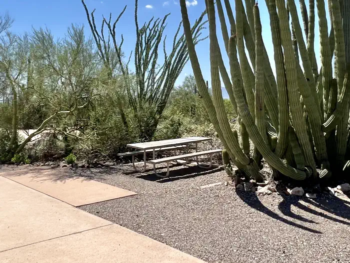 Big Views
Lukeville, AZ
Organ Pipe Cactus National Monument
 Big Views
Moab, UT
Arches National Park
 Big Views
Big Bend National Park, TX
Big Bend National Park
 Big Views
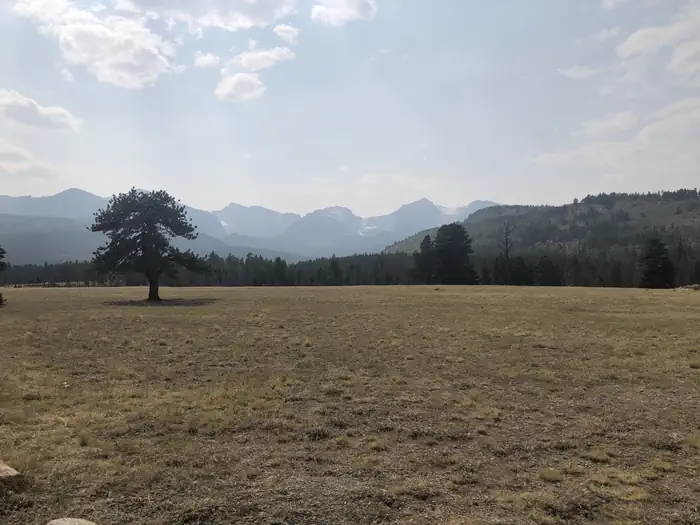
Estes Park, CO
Rocky Mountain National Park
 Big Views
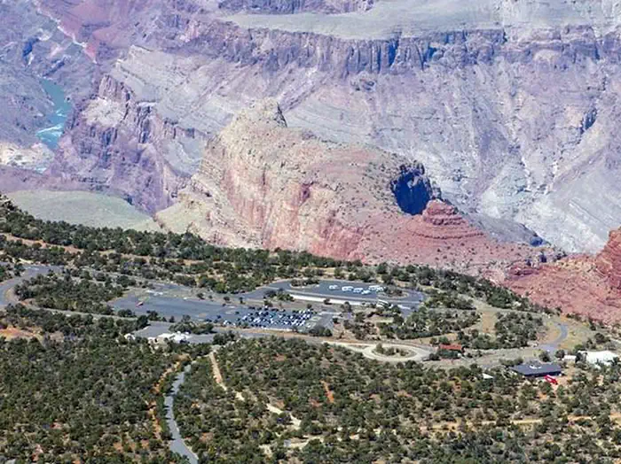
Grand Canyon National Park, AZ
Grand Canyon National Park
 Big Views
Waynesville, NC
Great Smoky Mountains National Park
 Big Views
Estes Park, CO
Rocky Mountain National Park
 Big Views
Shaver Lake, CA
Sierra National Forest
 Big Views
Sabillasville, MD
Catoctin Mountain Park
 Big Views
Winslow, AR
Ozark-St. Francis National Forests
 Big Views
Natural Bridge Station, VA
George Washington & Jefferson National Forest
 Big Views
Horse Shoe, NC
National Forests in North Carolina
 Big Views
Brian Head, UT
Cedar Breaks National Monument
 Big Views
Estacada, OR
Mt. Hood National Forest
 Big Views
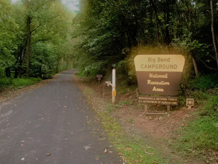
Cabins, WV
Monongahela National Forest
 Big Views
Angelus Oaks, CA
San Bernardino National Forest
 Big Views
Nye, MT
Custer Gallatin National Forest
 Big Views
Baker, NV
Great Basin National Park
 Big Views
Tofte, MN
Superior National Forest
 Big Views
Custer, SD
Black Hills National Forest
 Big Views
Island Park, ID
Caribou-Targhee National Forest
 Big Views
Lake Powell, UT
Natural Bridges National Monument
 Big Views
Highlands, NC
National Forests in North Carolina
 Big Views
Grand Canyon, AZ
Grand Canyon National Park
 Big Views
Twentynine Palms, CA
Joshua Tree National Park
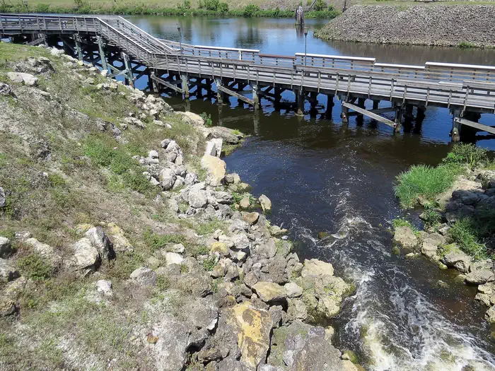 Full Hookups
Labelle, FL
Lake Okeechobee
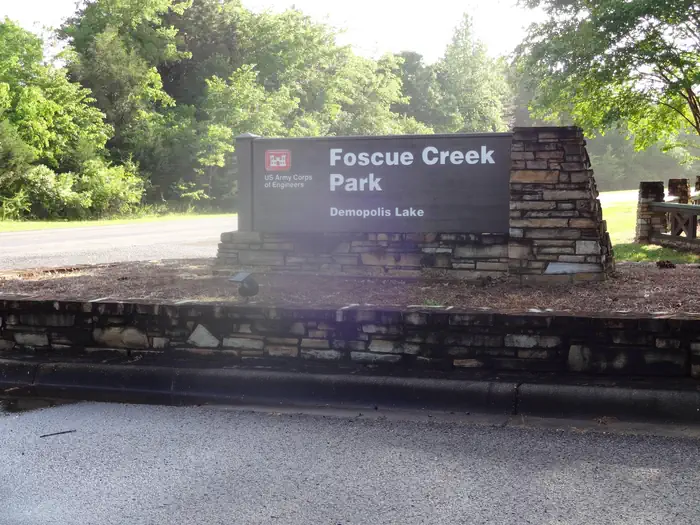 Full Hookups
Demopolis, AL
Black Warrior and Tombigbee Lakes
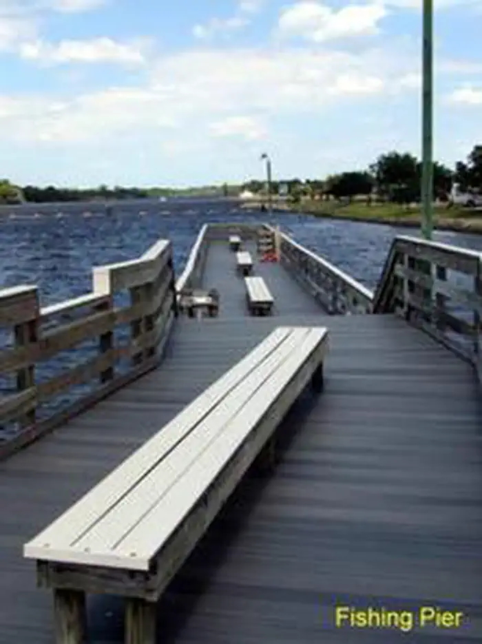 Full Hookups
Alva, FL
Lake Okeechobee
 Full Hookups
Coffeeville, MS
Grenada Lake
 Full Hookups
Youngsville, NM
Abiquiu Lake
 Full Hookups
Tuscaloosa, AL
Black Warrior and Tombigbee Lakes
 Full Hookups
Gamaliel, AR
Norfork Lake
 Full Hookups
McCormick, SC
J. Strom Thurmond Lake
 Full Hookups
Almont, CO
Grand Mesa, Uncompahgre and Gunnison National Forest
 Full Hookups
Reno, NV
Humboldt-Toiyabe National Forest Headquarters
 Full Hookups
Dolores, CO
San Juan National Forest
 Full Hookups
Dolores, CO
San Juan National Forest
 Full Hookups
Honor, MI
Sleeping Bear Dunes National Lakeshore
 Full Hookups
Big Bear City, CA
San Bernardino National Forest
 Full Hookups
Seneca, SC
Hartwell Lake
 Full Hookups
Willcox, AZ
Chiricahua National Monument
 Full Hookups
Boydton, VA
John H. Kerr Dam and Reservoir
 Full Hookups
Fort Gaines, GA
Walter F. George Lake
 Full Hookups
Oneida, TN
Big South Fork National River & Recreation Area
 Full Hookups
Hermitage, TN
J Percy Priest Lake
 Full Hookups
Winter Harbor, ME
Acadia National Park
 Full Hookups
Lake Arrowhead, CA
San Bernardino National Forest
 Full Hookups
Greenville, MO
Wappapello Lake
 Full Hookups
Blue Eye, MO
Table Rock Lake
 Full Hookups
Belton, TX
Belton Lake
 Full Hookups
 Full Hookups
Lampe, MO
Table Rock Lake
 Full Hookups
Oakland, MS
Enid Lake
 Full Hookups
Seneca, SC
Hartwell Lake
 Full Hookups
Akron, AL
Black Warrior and Tombigbee Lakes
 Full Hookups
Forest Lakes, AZ
Apache-Sitgreaves National Forest
 Full Hookups
Shelbyville, IL
Lake Shelbyville
 Full Hookups
Stuart, FL
Lake Okeechobee
 Full Hookups
Laclede, ID
Lake Pend Oreille
 Full Hookups
Colmesneil, TX
Steinhagen Lake
 Full Hookups
Baxter, MN
Mississippi River Headwaters - Gull Lake
Public land · CO
Unverified · OpenStreetMap — confirm before you go
Solar: NREL NSRDB · Dark sky: modeled estimate · Services: OSM · All estimates, verify before visit
Approx. 40.1770, -105.5265
Public land · CO
Unverified · OpenStreetMap — confirm before you go
Solar: NREL NSRDB · Dark sky: modeled estimate · Services: OSM · All estimates, verify before visit
Approx. 40.2545, -105.4085
National Forest · CO
Unverified · OpenStreetMap — confirm before you go
Solar: NREL NSRDB · Dark sky: modeled estimate · Services: OSM · All estimates, verify before visit
Approx. 37.8850, -107.8466
National Forest · AZ
Unverified · OpenStreetMap — confirm before you go
Solar: NREL NSRDB · Dark sky: modeled estimate · Services: OSM · All estimates, verify before visit
Approx. 31.5309, -111.2520
National Forest · AZ
Unverified · OpenStreetMap — confirm before you go
Solar: NREL NSRDB · Dark sky: modeled estimate · Services: OSM · All estimates, verify before visit
Approx. 33.7139, -111.2046
National Forest · AZ
Unverified · OpenStreetMap — confirm before you go
Solar: NREL NSRDB · Dark sky: modeled estimate · Services: OSM · All estimates, verify before visit
Approx. 33.8760, -111.6141
Public land · WA
Unverified · OpenStreetMap — confirm before you go
Solar: NREL NSRDB · Dark sky: modeled estimate · Services: OSM · All estimates, verify before visit
Approx. 48.0941, -124.2670
National Forest · AZ
Unverified · OpenStreetMap — confirm before you go
Solar: NREL NSRDB · Dark sky: modeled estimate · Services: OSM · All estimates, verify before visit
Approx. 33.7456, -111.2264
National Forest · UT
Unverified · OpenStreetMap — confirm before you go
Solar: NREL NSRDB · Dark sky: modeled estimate · Services: OSM · All estimates, verify before visit
Approx. 38.3443, -112.3999
National Forest · UT
Unverified · OpenStreetMap — confirm before you go
Solar: NREL NSRDB · Dark sky: modeled estimate · Services: OSM · All estimates, verify before visit
Approx. 38.6519, -111.9647
National Forest · UT
Unverified · OpenStreetMap — confirm before you go
Solar: NREL NSRDB · Dark sky: modeled estimate · Services: OSM · All estimates, verify before visit
Approx. 38.6787, -111.5963
National Forest · AZ
Unverified · OpenStreetMap — confirm before you go
Solar: NREL NSRDB · Dark sky: modeled estimate · Services: OSM · All estimates, verify before visit
Approx. 33.7451, -111.6613
National Forest · AZ
Unverified · OpenStreetMap — confirm before you go
Solar: NREL NSRDB · Dark sky: modeled estimate · Services: OSM · All estimates, verify before visit
Approx. 33.9342, -111.8215
National Forest · AZ
Unverified · OpenStreetMap — confirm before you go
Solar: NREL NSRDB · Dark sky: modeled estimate · Services: OSM · All estimates, verify before visit
Approx. 34.5425, -111.6988
Public land · WA
Unverified · OpenStreetMap — confirm before you go
Solar: NREL NSRDB · Dark sky: modeled estimate · Services: OSM · All estimates, verify before visit
Approx. 46.9945, -121.9213
National Forest · AZ
Unverified · OpenStreetMap — confirm before you go
Solar: NREL NSRDB · Dark sky: modeled estimate · Services: OSM · All estimates, verify before visit
Approx. 34.3481, -111.6978
National Forest · AZ
Unverified · OpenStreetMap — confirm before you go
Solar: NREL NSRDB · Dark sky: modeled estimate · Services: OSM · All estimates, verify before visit
Approx. 33.7183, -111.2062
National Forest · UT
Unverified · OpenStreetMap — confirm before you go
Solar: NREL NSRDB · Dark sky: modeled estimate · Services: OSM · All estimates, verify before visit
Approx. 38.7827, -111.6438
Public land · OR
Unverified · OpenStreetMap — confirm before you go
Solar: NREL NSRDB · Dark sky: modeled estimate · Services: OSM · All estimates, verify before visit
Approx. 44.0657, -122.2416
National Forest · AZ
Unverified · OpenStreetMap — confirm before you go
Solar: NREL NSRDB · Dark sky: modeled estimate · Services: OSM · All estimates, verify before visit
Approx. 33.5734, -111.2559
Public land · UT
Unverified · OpenStreetMap — confirm before you go
Solar: NREL NSRDB · Dark sky: modeled estimate · Services: OSM · All estimates, verify before visit
Approx. 37.6740, -112.2077
National Forest · AZ
Unverified · OpenStreetMap — confirm before you go
Solar: NREL NSRDB · Dark sky: modeled estimate · Services: OSM · All estimates, verify before visit
Approx. 33.5959, -111.2223
National Forest · AZ
Unverified · OpenStreetMap — confirm before you go
Solar: NREL NSRDB · Dark sky: modeled estimate · Services: OSM · All estimates, verify before visit
Approx. 34.4498, -112.4373
National Forest · AZ
Unverified · OpenStreetMap — confirm before you go
Solar: NREL NSRDB · Dark sky: modeled estimate · Services: OSM · All estimates, verify before visit
Approx. 34.4492, -112.4364
National Forest · AZ
Unverified · OpenStreetMap — confirm before you go
Solar: NREL NSRDB · Dark sky: modeled estimate · Services: OSM · All estimates, verify before visit
Approx. 34.4459, -112.4355
National Forest · AZ
Unverified · OpenStreetMap — confirm before you go
Solar: NREL NSRDB · Dark sky: modeled estimate · Services: OSM · All estimates, verify before visit
Approx. 33.6261, -110.9332
National Forest · AZ
Unverified · OpenStreetMap — confirm before you go
Solar: NREL NSRDB · Dark sky: modeled estimate · Services: OSM · All estimates, verify before visit
Approx. 33.6206, -110.9589
National Forest · AZ
Unverified · OpenStreetMap — confirm before you go
Solar: NREL NSRDB · Dark sky: modeled estimate · Services: OSM · All estimates, verify before visit
Approx. 33.6293, -110.9439
National Forest · AZ
Unverified · OpenStreetMap — confirm before you go
Solar: NREL NSRDB · Dark sky: modeled estimate · Services: OSM · All estimates, verify before visit
Approx. 34.3082, -111.3408
National Forest · UT
Unverified · OpenStreetMap — confirm before you go
Solar: NREL NSRDB · Dark sky: modeled estimate · Services: OSM · All estimates, verify before visit
Approx. 38.7659, -111.6861
National Park Service · NV
Unverified · OpenStreetMap — confirm before you go
Solar: NREL NSRDB · Dark sky: modeled estimate · Services: OSM · All estimates, verify before visit
Approx. 36.1287, -114.8335
Public land · WA
Unverified · OpenStreetMap — confirm before you go
Solar: NREL NSRDB · Dark sky: modeled estimate · Services: OSM · All estimates, verify before visit
Approx. 46.5898, -121.2280
National Forest · UT
Unverified · OpenStreetMap — confirm before you go
Solar: NREL NSRDB · Dark sky: modeled estimate · Services: OSM · All estimates, verify before visit
Approx. 38.7687, -111.6557
Public land · CO
Unverified · OpenStreetMap — confirm before you go
Solar: NREL NSRDB · Dark sky: modeled estimate · Services: OSM · All estimates, verify before visit
Approx. 40.2200, -105.8882
National Forest · AZ
Unverified · OpenStreetMap — confirm before you go
Solar: NREL NSRDB · Dark sky: modeled estimate · Services: OSM · All estimates, verify before visit
Approx. 33.9779, -111.7166
Public land · WA
Unverified · OpenStreetMap — confirm before you go
Solar: NREL NSRDB · Dark sky: modeled estimate · Services: OSM · All estimates, verify before visit
Approx. 47.0475, -121.6197
National Forest · AZ
Unverified · OpenStreetMap — confirm before you go
Solar: NREL NSRDB · Dark sky: modeled estimate · Services: OSM · All estimates, verify before visit
Approx. 33.6254, -110.9368
National Forest · AZ
Unverified · OpenStreetMap — confirm before you go
Solar: NREL NSRDB · Dark sky: modeled estimate · Services: OSM · All estimates, verify before visit
Approx. 32.4103, -110.7085
Public land · NV
Unverified · OpenStreetMap — confirm before you go
Solar: NREL NSRDB · Dark sky: modeled estimate · Services: OSM · All estimates, verify before visit
Approx. 35.6772, -118.3610
Public land · NV
Unverified · OpenStreetMap — confirm before you go
Solar: NREL NSRDB · Dark sky: modeled estimate · Services: OSM · All estimates, verify before visit
Approx. 35.3145, -118.0376
National Forest · AZ
Unverified · OpenStreetMap — confirm before you go
Solar: NREL NSRDB · Dark sky: modeled estimate · Services: OSM · All estimates, verify before visit
Approx. 33.9735, -111.8623
National Forest · AZ
Unverified · OpenStreetMap — confirm before you go
Solar: NREL NSRDB · Dark sky: modeled estimate · Services: OSM · All estimates, verify before visit
Approx. 31.7477, -110.7413
Public land · UT
Unverified · OpenStreetMap — confirm before you go
Solar: NREL NSRDB · Dark sky: modeled estimate · Services: OSM · All estimates, verify before visit
Approx. 38.5977, -111.8477
Public land · CA
Unverified · OpenStreetMap — confirm before you go
Solar: NREL NSRDB · Dark sky: modeled estimate · Services: OSM · All estimates, verify before visit
Approx. 39.1071, -122.7599
National Forest · UT
Unverified · OpenStreetMap — confirm before you go
Solar: NREL NSRDB · Dark sky: modeled estimate · Services: OSM · All estimates, verify before visit
Approx. 37.5420, -112.6450
Public land · UT
Unverified · OpenStreetMap — confirm before you go
Solar: NREL NSRDB · Dark sky: modeled estimate · Services: OSM · All estimates, verify before visit
Approx. 37.2728, -113.3884
National Forest · CA
Unverified · OpenStreetMap — confirm before you go
Solar: NREL NSRDB · Dark sky: modeled estimate · Services: OSM · All estimates, verify before visit
Approx. 39.2871, -120.5059
National Forest · AZ
Unverified · OpenStreetMap — confirm before you go
Solar: NREL NSRDB · Dark sky: modeled estimate · Services: OSM · All estimates, verify before visit
Approx. 34.7799, -111.2048
National Forest · AZ
Unverified · OpenStreetMap — confirm before you go
Solar: NREL NSRDB · Dark sky: modeled estimate · Services: OSM · All estimates, verify before visit
Approx. 33.6243, -111.2012
National Forest · UT
Unverified · OpenStreetMap — confirm before you go
Solar: NREL NSRDB · Dark sky: modeled estimate · Services: OSM · All estimates, verify before visit
Approx. 38.7741, -111.6518
National Forest · UT
Unverified · OpenStreetMap — confirm before you go
Solar: NREL NSRDB · Dark sky: modeled estimate · Services: OSM · All estimates, verify before visit
Approx. 37.6370, -112.6720
National Forest · UT
Unverified · OpenStreetMap — confirm before you go
Solar: NREL NSRDB · Dark sky: modeled estimate · Services: OSM · All estimates, verify before visit
Approx. 38.4849, -112.0744
Public land · OR
Unverified · OpenStreetMap — confirm before you go
Solar: NREL NSRDB · Dark sky: modeled estimate · Services: OSM · All estimates, verify before visit
Approx. 42.6780, -122.4273
Public land · OR
Unverified · OpenStreetMap — confirm before you go
Solar: NREL NSRDB · Dark sky: modeled estimate · Services: OSM · All estimates, verify before visit
Approx. 42.6557, -122.4386
National Forest · AZ
Unverified · OpenStreetMap — confirm before you go
Solar: NREL NSRDB · Dark sky: modeled estimate · Services: OSM · All estimates, verify before visit
Approx. 33.9668, -111.7171
Public land · UT
Unverified · OpenStreetMap — confirm before you go
Solar: NREL NSRDB · Dark sky: modeled estimate · Services: OSM · All estimates, verify before visit
Approx. 41.2956, -111.7553
Public land · WA
Unverified · OpenStreetMap — confirm before you go
Solar: NREL NSRDB · Dark sky: modeled estimate · Services: OSM · All estimates, verify before visit
Approx. 48.0730, -121.6945
National Forest · AZ
Unverified · OpenStreetMap — confirm before you go
Solar: NREL NSRDB · Dark sky: modeled estimate · Services: OSM · All estimates, verify before visit
Approx. 32.4146, -110.7281
National Forest · AZ
Unverified · OpenStreetMap — confirm before you go
Solar: NREL NSRDB · Dark sky: modeled estimate · Services: OSM · All estimates, verify before visit
Approx. 33.9863, -111.7199
National Forest · AZ
Unverified · OpenStreetMap — confirm before you go
Solar: NREL NSRDB · Dark sky: modeled estimate · Services: OSM · All estimates, verify before visit
Approx. 31.5077, -109.0220
Public land · CO
Unverified · OpenStreetMap — confirm before you go
Solar: NREL NSRDB · Dark sky: modeled estimate · Services: OSM · All estimates, verify before visit
Approx. 40.3669, -105.4202
Public land · AZ
Unverified · OpenStreetMap — confirm before you go
Solar: NREL NSRDB · Dark sky: modeled estimate · Services: OSM · All estimates, verify before visit
Approx. 35.0557, -111.7238
National Forest · AZ
Unverified · OpenStreetMap — confirm before you go
Solar: NREL NSRDB · Dark sky: modeled estimate · Services: OSM · All estimates, verify before visit
Approx. 33.6188, -110.9283
National Forest · UT
Unverified · OpenStreetMap — confirm before you go
Solar: NREL NSRDB · Dark sky: modeled estimate · Services: OSM · All estimates, verify before visit
Approx. 38.7881, -111.7683
National Forest · UT
Unverified · OpenStreetMap — confirm before you go
Solar: NREL NSRDB · Dark sky: modeled estimate · Services: OSM · All estimates, verify before visit
Approx. 38.7595, -111.6535
National Forest · AZ
Unverified · OpenStreetMap — confirm before you go
Solar: NREL NSRDB · Dark sky: modeled estimate · Services: OSM · All estimates, verify before visit
Approx. 33.8148, -110.9842
National Forest · AZ
Unverified · OpenStreetMap — confirm before you go
Solar: NREL NSRDB · Dark sky: modeled estimate · Services: OSM · All estimates, verify before visit
Approx. 33.8588, -111.6186
National Forest · AZ
Unverified · OpenStreetMap — confirm before you go
Solar: NREL NSRDB · Dark sky: modeled estimate · Services: OSM · All estimates, verify before visit
Approx. 34.0776, -111.7085
Public land · UT
Unverified · OpenStreetMap — confirm before you go
Solar: NREL NSRDB · Dark sky: modeled estimate · Services: OSM · All estimates, verify before visit
Approx. 38.5728, -112.4623
Public land · CO
Unverified · OpenStreetMap — confirm before you go
Solar: NREL NSRDB · Dark sky: modeled estimate · Services: OSM · All estimates, verify before visit
Approx. 38.6899, -105.0538
National Forest · UT
Unverified · OpenStreetMap — confirm before you go
Solar: NREL NSRDB · Dark sky: modeled estimate · Services: OSM · All estimates, verify before visit
Approx. 38.7870, -111.6417
National Forest · UT
Unverified · OpenStreetMap — confirm before you go
Solar: NREL NSRDB · Dark sky: modeled estimate · Services: OSM · All estimates, verify before visit
Approx. 37.5100, -112.6180
National Forest · AZ
Unverified · OpenStreetMap — confirm before you go
Solar: NREL NSRDB · Dark sky: modeled estimate · Services: OSM · All estimates, verify before visit
Approx. 33.6335, -111.2038
Public land · OR
Unverified · OpenStreetMap — confirm before you go
Solar: NREL NSRDB · Dark sky: modeled estimate · Services: OSM · All estimates, verify before visit
Approx. 44.2423, -123.4958
National Forest · UT
Unverified · OpenStreetMap — confirm before you go
Solar: NREL NSRDB · Dark sky: modeled estimate · Services: OSM · All estimates, verify before visit
Approx. 37.7730, -112.7490
Public land · UT
Unverified · OpenStreetMap — confirm before you go
Solar: NREL NSRDB · Dark sky: modeled estimate · Services: OSM · All estimates, verify before visit
Approx. 38.4371, -109.4263
Big Views and Full Hookups are hand-picked from public Recreation.gov (RIDB) data — rated 4.5★+, road-accessible to a trailer, no tent-only or hike-in sites. Boondocking sites are community-mapped from OpenStreetMap (ODbL) and are unverified: no reservations, and access, road condition and current rules change — always confirm before you go. Ratings, prices, length limits and availability change too; confirm on each facility's page. Independent reference, not affiliated with Recreation.gov.